Surveying
Learn More
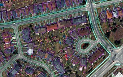
Photogrammetry
Learn More
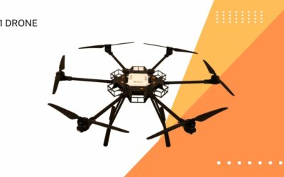
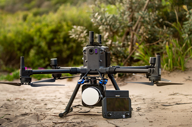
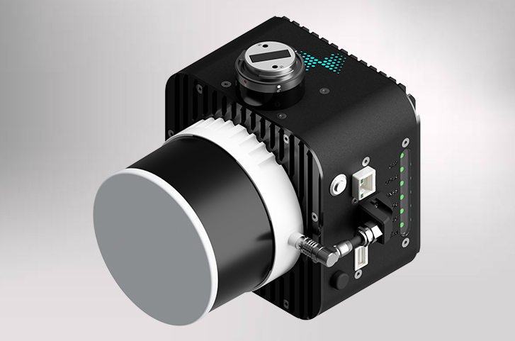
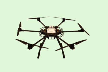
LiDAR Services
Learn More
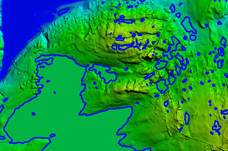
GIS / CAD
Learn More
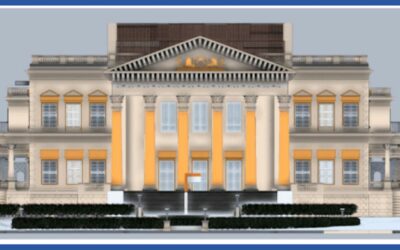
Digital Twins
Learn More
BIM
Learn More
Geospatial technology presents smarter solutions for a rapidly changing world
Geospatial technology is transforming the economies and societies in the digital era. We assist organizations around the world in advancing their objectives in a rapidly changing world with reliable, fast, and high-quality geospatial information through our services, custom solutions and products
Range of mapping, imagery and security solutions for quick, Reliable, actionable data
Our Product Partners

Reliable and consistent survey grade data

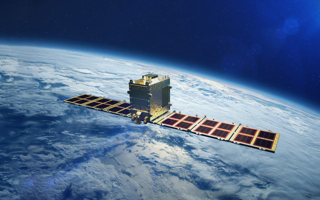
SAR satellite-based one-stop solutions
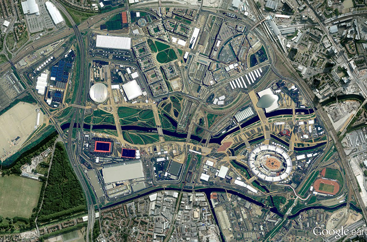
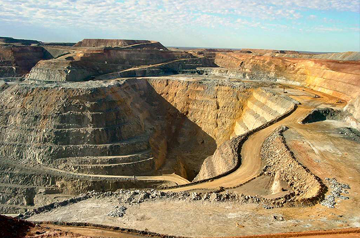
Industries We Serve
Custom solutions for sectors that matter the most


Vast experience, pedigree and industry insights that helps us serve you best


Our Experience
0Million
Imageries processed for
Aerial triangulation
Aerial triangulation
0Million Sq.km
Ortho Photo Production
0Million Sq.km
DTM collection
0Sq.km
Airborne LiDAR data processing
0Sq.km
Feature Extraction
0Sq.km
GIS data conversion
Our Clients